
Magical foggy beech forest and crossing with the Camino Frances in Auritz-Burguete on GR11 | Day 12 to Sorrogain
The plan for the day was to do 15kms and make 400m of elevation change both up and down. Looking at the map we didn’t expect the day to be too difficult.
We had one of the quietest nights in the dense forest where there was little wind and quite warm and that’s why we were able to sleep good. In the morning we felt refreshed and energized and tried to do our routine as fast as possible.
So first we needed to get to the town Auritz Burguete to resupply in the supermarket and we had only 3km left to it. The trail went straight through the fields and cow pastures and it again seemed like we would look over the mountain and see the ocean coast. So similar to Camino it looked. On the sky there were many low clouds again, in fact layers of clouds on the hills moving fast running over each other. The landscapes were peaceful and beautiful.


Soon we entered the outskirts of the town with lots of the farm buildings and warehouses and headed straight to the grocery store. It turned out to be a good supermarket where we were able to find everything we needed like bread, seeds and dry fruit, nuts, some tomatoes and apples and cereals of course. Also we found our favorite ice cream there which was a surprise.
The town itself looked compact and small with the typical architecture for these places. What was unique about it and special is that here was passing the Camino de Santiago French Way starting from Saint Jean Pie de Port only 26 kms away. For that reason we met many backpackers while walking in the town. And it was just exciting to cross the Camino and its signs even if just for a while.

Then our way directed us out of the town again into the fields and pastures. It seemed like almost every field was a pasture in these places and we had to cross many gates and obstacles because of that. We met cute herd of horses with many young colts behaving curious and walked with them for a while, as it was quite big. The trail followed the gravel farm road for a long time since then.

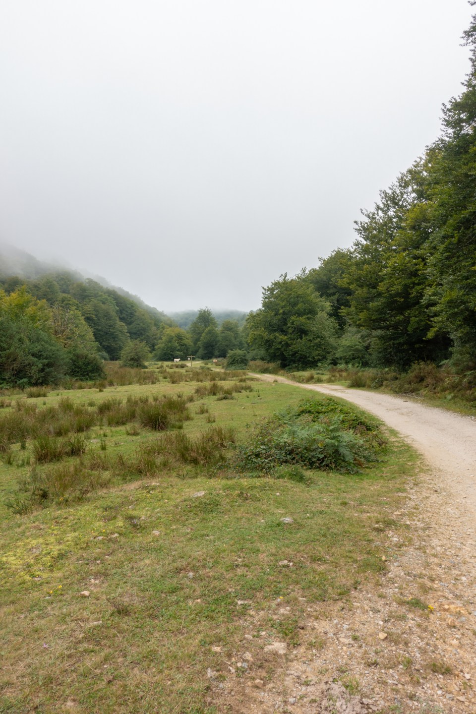
The weather didn’t seem to change much and it was still very cloudy and foggy with no direct sunlight and also the wind was quite cold. We supposed it was a typical pattern for these places especially in the mornings.

We hiked along the river for a few kilometers on an easy road and then faced first more or less significant uphill. It was all going on a farm road but at times was steep. The part we enjoyed the most about it – that it was going through the beech forest that we personally love. It was very scenic and shaded path and the moments like these just feed your soul. We’ve noticed in this area a lot of beech trees overall and it was probably because of the suitable for them climate.

The uphill continued as we walked into more open areas now again with lots of cows and horses pasturing. As we were getting higher, we got more foggy low clouds and it was harder to see in the distance. In addition, the wind was blowing more fiercely and we got a bit cold. Therefore, we had to put our coats on and sometimes even the hood.


The trail was going up and down quite a bit through the green hills for some time and in this area it became harder to navigate. Partly because of pure vision and fog and partly because of the huge wide spaces with open fields where it was easy to confuse where to go. It happened to us a couple of times and then we had to go back to the trail with the help of navigation. The wooden signs and stakes were helping a lot but sometimes there were not enough of them.
At this time of around 11 or 12am we met the most amount of hikers walking in reverse direction. We noticed that for some reason more people were hiking in reverse direction to ours.


We were hiking in almost complete fog at one point and could see very little in front of us. The wind was blowing strong and it almost felt autumn like weather in these conditions. At one point when we met some trees we decided to stop for a lunch break but it was getting cold and humid and so we could not rest for long.
Then the trail continued through the pastures and green hills for another several kilometers and we have never seen such huge pastures before we think and so many of them. We came out to the beautiful view of the valley and hills partly peeking through the clouds, as we were getting a bit lower. And from there the steepest part of the downhill began with 112 m of elevation change in just 0.5km. It was still going through the green grass and it really was quite steep. It was just 2kms long but our knees were definitely feeling it.


There we saw a bit of the sun coming through the clouds, the first rays we’ve seen in a day and we came down to the dirt car road the lowest part of that day. From there we had only 2.5km left to our planned camp spot but we as always were concerned about finding the water source. In the valley where we came down should have been the river according to our map but there was no sign of water. It was a bit discouraging but we kept going along the assumed river course and fortunately soon met the water stream. First very small and then getting bigger as we progressed.


So we started to look for the camp spots on the sides of the river there but we didn’t like that all flat spots were very close or just right on the path. So we kept going in hope that we’ll find a more secluded place. And we ended up doing 1.5km more along the river before we stumbled across the more or less suitable spot. We were already afraid we had to make all the uphill in order to find it but it luckily was not the case. It was still close to the trail and partly seen from it but it was the best we could find.
This time we decided to skip the shower routine as that day was quite cool and it was not that needed which was a rare case. So we set up a tent right away and it was still around 16 pm so we could cook our dinner with no rush and have time to rest. That evening we had oats with cheese and fresh tomatoes, apple and biscuits for a dessert.
That day turned out to be not that hard with minor elevation changes and no extreme trail. Also the weather was a huge helper giving us a chance to breathe and not be hot. But we knew that we needed to recover good enough in order to tackle the next more challenging day to come with more ups and downs and elevation changes..
Here is the link to Google map to follow the hike:

You May Also Like

The most beautiful old beech forests on Tour du Canigou in Pyrenees-Orientales, France | Day 4-Refuge Sant Guillem- Ravin Comail

Exploring amazing Val di Funes on the Adolf Munkel trail | Hiking in Dolomites #6
